
We define deep reservoirs through shear modulus and density analysis down to 5 km depth, delivering meter-scale resolution with advanced nodal technology.
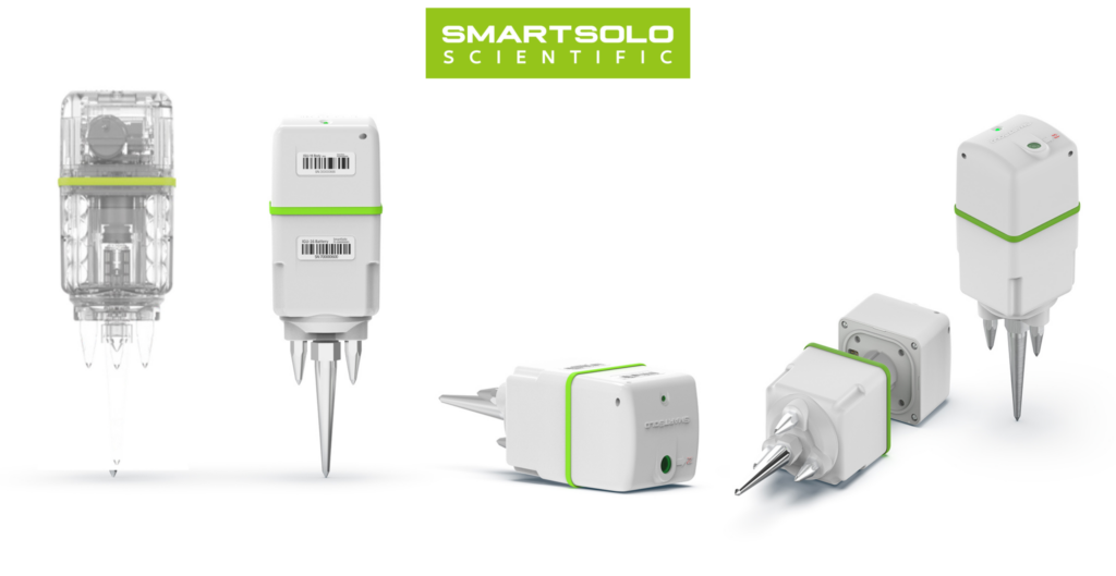
We understand the challenges posed by traditional geophysical investigation techniques, and in particular, the complex logistics and lengthy permitting processes required. That’s why we’ve turned to industry-leading nodal sensors and low-impact prospecting tools, redefining the way geophysical surveys are conducted.
Our approach offers unrivaled advantages. We can deploy a hundreds node network in less than a week, whether in the heart of a dense rainforest, on top of snow-capped mountains, along steep cliffs or in bustling urban environments. All with minimal disruption to the environment, be it wildlife, local residents or road traffic. Once deployed, our seismic instruments collect data continuously for up to a month, guaranteeing data quality and accurate reconstruction of wave propagation in the subsurface. The large datasets we collect are versatile, allowing us to investigate the site from multiple angles and extract a wide range of information tailored to the needs of your project.
Our innovative methods are designed to deliver accurate results in the most efficient way.
Maps Shear-wave Velocity (Vs) structure. Our core technology for defining lithology, basement topography, and fault geometry up to 5km depth.
The source of signal is the seismic ambient noise. No vibrotrucks. We use dense networks of hundreds of geophones for high lateral resolution.
Maps Energy Loss (1/Q), while velocity maps structure, attenuation maps the rock quality (fracturing or fluid saturation).
Maximize near-surface resolution, and rapidly maps depth-to-bedrock, Vs30 and paleochannels, resolving the critical first hundred meters.
Real-time detection of induced seismicity for geothermal safety. We turn safety data into exploration assets.
When local seismicity exists, we use it to refine the 3D velocity model, illuminating deeper structures.
Ambient noise travels primarily as surface waves, which are dominated by Shear Wave Velocity (Vs). Unlike P-waves (Vp), which can be heavily influenced by fluid saturation, Vs travels through the rock matrix itself.
Standard tomography maps velocity. However, a rock can be fast but fractured. ANAT measures how quickly seismic energy fades.
Don’t just record earthquakes for safety compliance. Use them. By applying Nodal Local Earthquake Tomography (NLET), we turn safety data into exploration tools.
During passive seismic surveys, our nodal arrays routinely capture regional or induced seismicity over the one-month recording period, generating a valuable new dataset.
In seismology, ambient noise refers to the constant, background vibrations traveling through the Earth’s surface at all times. In the past, geophysicists considered this background rumble to be a nuisance that interfered with earthquake recordings. Today, we use it as a powerful, continuous signal source
These vibrations are generated by two main categories of sources:
Natural Sources: Ocean waves crashing against the continental shelf, wind, and atmospheric pressure changes (these typically generate low-frequency signals that penetrate deep into the Earth).
Anthropogenic (Human-Made) Sources: Traffic, trains, heavy machinery, and urban activity (these generate high-frequency signals useful for shallow, high-resolution imaging).
No, we do not. Vibrotrucks or explosives are required for active seismic surveys, where a massive, artificial energy source must be created to send waves into the ground.
Because we use ambient noise techniques, our approach is entirely passive. We simply deploy highly sensitive, self-contained sensors (nodes) on the surface to “listen” to the existing background vibrations that are already traveling through the subsurface.
Passive seismic methods utilizing ambient noise offer several major advantages over traditional active seismic surveys:
Zero Environmental Impact: There are no heavy vibrotrucks, no explosives, and no ground disturbance. This makes it ideal for ecologically sensitive areas.
Logistical Flexibility: We can deploy our nodes in places where vibrotrucks physically cannot go, such as dense urban centers, steep mountainous terrain, or heavily forested areas.
Cost-Effectiveness: Without the need to rent, fuel, and permit heavy machinery or explosive crews, mobilization and operational costs are significantly lower. This cost-effectiveness is key for greenfield exploration to assess and target an area, as well as for early-stage feasibility studies.
Public Acceptance: Because the method is completely silent and non-intrusive, permitting and community relations are vastly simplified.
To ensure the reliability and depth sensitivity of our Nodal Ambient Noise Tomography (NANT) results, we rigorously validate our array designs using a Checkerboard Resolution Test.
Here is how it works:
Synthetic Modeling: We create a virtual 3D geological model with alternating blocks of “fast” and “slow” seismic velocities, resembling a 3D checkerboard.
Simulation: We simulate how our specific layout of surface nodes would record the ambient noise passing through this artificial checkerboard structure.
Inversion: We take that simulated data, add realistic background noise, and process it through our NANT inversion algorithms to see if we can accurately recreate the original checkerboard.
If our final image successfully recovers the alternating squares at a specific depth, it mathematically proves that our node array has the required sensitivity and spatial resolution to map real geological features at that target depth.Without the need to rent, fuel, and permit heavy machinery or explosive crews, mobilization and operational costs are significantly lower. This cost-effectiveness is key for greenfield exploration to assess and target an area, as well as for early-stage feasibility studies.